|
Story from John Vonderlin
Hi June,
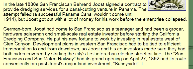
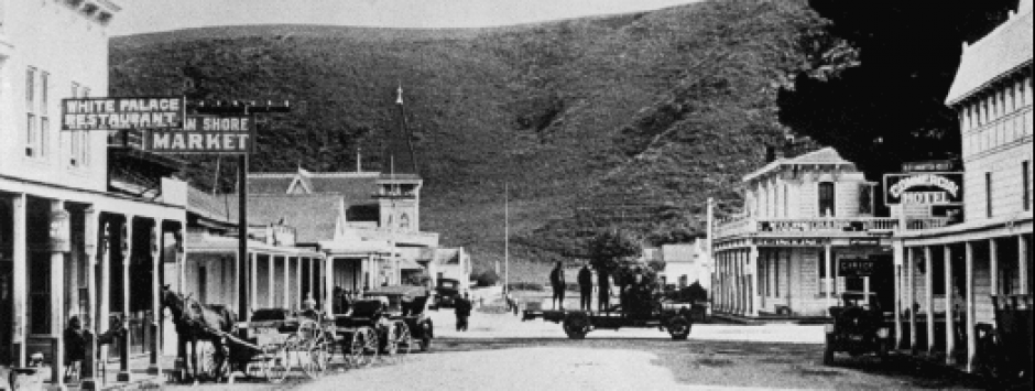
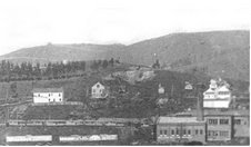
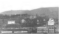
Angelo and I are still nibbling away at the truth of planned OSR routes along the Coastside. I sent this email to him and can excerpt it for PM if you like. I’m attaching some info about Mr. Joost, as I thought you might be familiar with him, or be interested in his contribution to S.F. as a former resident. He had a reasonably successful sixty year business career, but not as successful as another youth from his hometown, Mr. Spreckels. The picture is the Sunnyside district, his development, in 1905. Enjoy. John
— On Fri, 5/15/09, john vonderlin <[email protected]> wrote: From: john vonderlin <[email protected]>
Subject: Pre-OSR
To: [email protected]
Date: Friday, May 15, 2009, 6:42 PM
Hi Angelo,
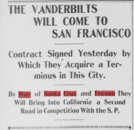
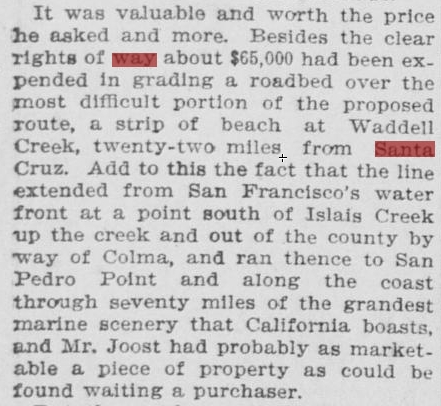
The Screenshots I attached are from a long article about the Vanderbilts buying out the West Shore Company’s right-of-ways along the Coastside in 1899. I thought you might be interested in the mention of the Waddell Creek work already done and Mr. Behrend Joost, who was an early organizer of a coastal route. Perhaps, his letters, documents have some of the early surveys of an S.F. to Santa Cruz route. I’ll check. Enjoy. John P.S. On “Chronicling America,” I used the “with the words” feature, changed it to within 10 words and used “way Santa Cruz and Fresno. Just two hits come up and the April 11th, 1899 issue of “The Call,” is the right one.
From: [email protected] < [email protected]>
Subject: RE: Pre-OSR
To: “John Vonderlin” < [email protected]>
Date: Sunday, May 17, 2009, 12:52 AM
Hi, John. Thanks for the very interesting attachments. Would like more on this. Incidentally, I recently bought 2 USGS topographic maps from 1953 aerial photos with
added 1955 field checks of the San Gregorio and (adjoining) Pescadero Quadrangles–cost $29 for both as they had to be photocopied from the repository in Virginia. None earlier is available. Nowhere near as good as the western Marin and Sonoma counties USGS topo quadrangle maps I have from the 1960s; these show the narrow gauge to Cazadero with remarks like”dismantled railroad.” The S.G. and P. Quadrangle maps have no indication of the OS, even in the section north of Tunitas where the grade shows up on GoogleEarth. I did find the Pescadero tunnel bore; the same as one of the PowerPoint presentation maps of the Pescadero Marsh you found; obviously PowerPoint used this source. I did find a building on the north side of Tunitas Creek, which very possibly is the Tunitas Station as the alignment looks right, though no mention of it as such. Surprisingly nothing about the Palmer Gulch Trestle, though it was still standing in 1953-55. The north portal of the Pescadero tunnel/bore is right at the coast, agreeing with Pgs.27-28 of the Bondholders Report: (From Tunitas) ” for the next six (6) miles the road lies generally on the cliffs….” Using a ruler I found this six miles ends in the dune area just north of Pescadero Creek–maybe where the 375′ trestle would start. The stories about the tunnel being constructed for Hwy. Dept. explosives storage or by the military for a WWII observation post until better info. comes along remain, in my opinion, just stories. Possibly it was USED in those ways.
Anyway, John, I wonder what the promoters of the OS would have thought about all the interest in the old line over a hundred years later. Having a good day and wish you the same. Angelo
————————–
|
|
